Car Android - trip preparation
Offline maps aren't a switch you flip. They're files you download ahead of time and keep somewhere the app can read, and on a border trip that's where it usually goes wrong - not at the map itself, but at the storage it sits on and the country you forgot to download.
A downloaded map is a folder of road data sitting on a drive. Nothing about crossing a border switches it off. What stops the guidance is simpler and duller than that: you drove past the edge of what you saved, or you saved it onto a drive the app can't read any more, or the copy on the car's screen was never there in the first place. Sort out those three and the trip works with no signal at all.
Plenty of drivers assume a map app keeps working offline once it has been used at home. It doesn't. A downloaded area guides you only while the route stays inside it, and only while the app can still read the file from the drive you saved it to. That second half is the part people skip.
Three things break it. The country you're entering was never downloaded, so the route ends at the frontier. The download is there but old, and the road changes never arrived. Or the data sits on a card the app can no longer write to, so it quietly falls back to online and gives up at the first dead zone. Same symptom, three different fixes, and the drive is the usual suspect.
The annoying part is the timing: each of those turns up on the road, at the moment you have no data left to repair it with, and nothing warns you in advance. So what actually breaks, in the order I'd check it? The saved area first, then its age, then the drive it sits on. The version I hear most often starts with "it worked fine at home", which is what a storage problem looks like.
So the first useful question isn't which map app you use. It's where the data ended up.
Keep the layers apart. A phone app stores the area on the phone. A head unit running its own navigation app stores it on the unit. And when you're using screen mirroring, android head unit screen mirroring from phone is a display link - the phone's still holding the map and the screen is only showing it.
Google is specific about storage on its offline maps help page: an area can live in internal storage or on an SD card, and if you change which one, the map gets downloaded again. Their page adds one condition - on Android 6.0 and later that option appears only when the card is set up as portable storage.
Android's own rules add a second layer. Since Android 10, apps use scoped storage, and an app built for Android 11 or higher can write only into its own folder on the card; the old blanket write permission doesn't do anything any more (Android developer documentation, data and file storage overview). Translation for a car unit: the app has to offer its own save-to-card setting. Copying a folder across by hand rarely survives, because the app won't recognise the copy as its own data.
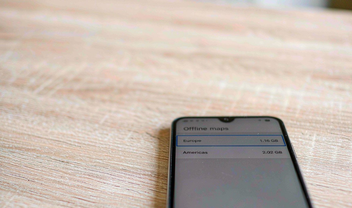
On a unit with two drives, this matters more than the map app itself. It sounds silly to fuss over a storage setting, but it's the one that decides whether the map is there when the signal isn't. Send the model number if you're not sure which drive your build can use - we'll confirm it before you rely on it.
There are two budgets, not one. Internal storage carries the system, the apps and their caches; the removable card is separate. So how much is enough? Read the size the app quotes for the whole route and leave a margin, because a drive that's nearly full is a drive where the next update fails. On most retrofit units the card is the bigger number, which is why the storage setting deserves a look before you download anything.
You don't have to guess at the size. Apple's Maps support page says the app shows the estimated file size before you confirm a download, and Google's app warns you the same way. Read those numbers, then add up the areas for the whole route rather than the destination city alone.
Quickest to read, but shared with the system and the installed apps. When it's nearly full, downloads fail and apps get frozen to make room.
The usual home for map data on a retrofit unit, provided the app's allowed to write to it. Format matters too: FAT32 caps a single file at 4 GB, so a large archive can refuse to copy onto a drive with space left.
Everything offloads to the phone, which is fine until the cable or the wireless link drops. The map survives; the screen doesn't.
If a map redraws slowly only when it runs from the card and feels normal from internal storage, the card's read speed is the difference, not the app. That one gets misdiagnosed as a tired processor. Try the same area from both drives before you blame the unit.
It's also the spec line to read before you buy. The figure in android car stereo 4GB RAM 64GB storage splits into two numbers, and only the second one holds your maps. WITSON lists its universal one and two DIN units by model number and screen size, so ask for the memory and storage lines of the exact model rather than the family headline.
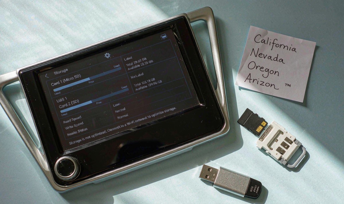
Do all of this at home on Wi-Fi, not in a car park on the morning you go. Leaving it until you're at the border turns a dull setting into a nightmare at a kiosk.
Then repeat the test on the app the unit runs by itself. The common mistake is testing the phone, seeing the map work, and calling it done. I'd start with the unit's own offline screen, because what I see most is a map that works on the phone and was never set up on the screen. android car radio navigation while driving is the case you're preparing for, and it behaves differently from the app you tried on the sofa.
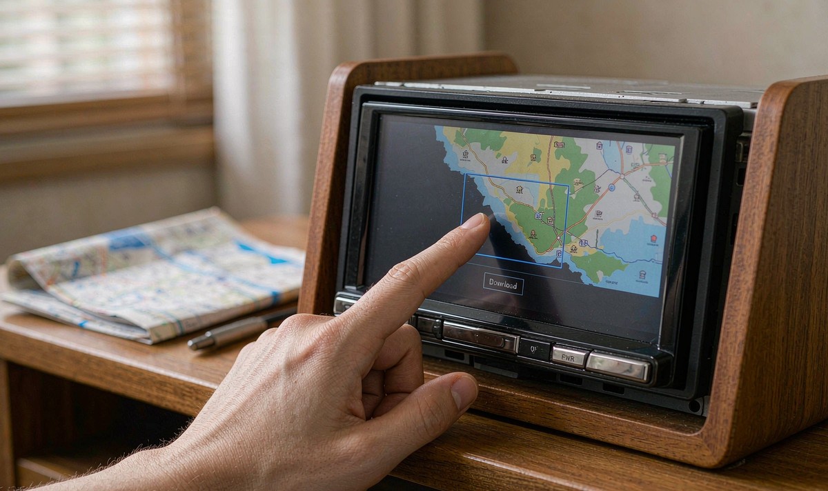
Offline guidance is narrower than the online version, and the gap shows up on this kind of trip. Google's help page is clear that an offline driving map gives you no traffic conditions and no alternative routes, and that transit, walking and cycling directions aren't available offline at all.
| What you're doing | With a downloaded area | With a connection |
|---|---|---|
| Turn-by-turn driving inside the saved area | Works | Works |
| Live traffic and rerouting | Not available | Available |
| Transit, walking and cycling routes | Not available | Available |
Coverage is uneven across borders as well. Apple notes on its own support page that offline maps are offered only for certain areas and that the features vary by country and region, so what you get at home is not a promise of what you get abroad.
That's the honest case for keeping some data on the trip, and the regret on a run like this is never the cost of a local SIM - it's the hour lost somewhere with no signal. A local SIM or a phone hotspot hands the live layer back to you, and android head unit with 4G SIM card slot is the question to ask about a unit if you would rather not tether at all. Offline maps get you there; a connection is what tells you the road ahead is closed.
Which drive a unit can use for app data comes down to its build and its storage settings, and the setting names move around between firmware versions. Our support desk covers installation and firmware questions for retrofit units.
Read the full support scopeZhuhai WITSON Industrial Co., Ltd. - Tel: +86-756-8120312, 8120211, 8120212.
No. A downloaded area plus GPS is enough to follow a route; position comes from the satellites, not the network.
Rarely, and not for long. Android's scoped storage rules mean an app reads its own folder on the card, so a folder dropped in from a laptop isn't recognised as its data. Use the app's own storage setting instead and let it do the move.
More often than people expect. Google tries to update an area once it's within 15 days of expiring, and only on Wi-Fi, and Apple leaves automatic updates on by default. Reconnect at home before a trip rather than trusting last summer's download.
Three usual reasons. The route left the saved area. The download had expired. Or the data sits on a drive the app can't read any more. The parked test with data off tells you which one you're looking at.
It can, as long as the phone holds the downloaded area, because the unit is a display in that setup rather than a second copy of the map. Mirror the test on the car screen too - a link that drops takes the map off the screen even though the phone still has it.